Built from the novel
This is a reasoned reconstruction of fictional geography, not a canonical or surveyed map. It is inspired by Stephen King’s novel IT, and the novel’s own descriptions are its only literary source. Film and television geography has not been used.
The town plan combines both main periods and the historical interludes. Dates in the place cards distinguish former sites and replacements; the map does not depict a single historical day. It covers surface geography only.

How sure is each pin
Every place on the map carries one of four marks. They say how much of its position comes from the text and how much the atlas worked out.
| Mark | What the text gives | What the atlas adds | Example | Places |
|---|---|---|---|---|
| A · Named in the novel | The street, a neighbour or a named site | The exact lot and the building outline | 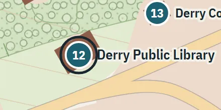 12 Derry Public Library |
48 places |
| B · Inferred | Routes, distances, directions | Which street, and the house itself | 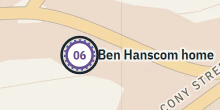 6 Ben Hanscom home |
26 places |
| C · Proposed | Only a description | The whole position, as a plausible option | 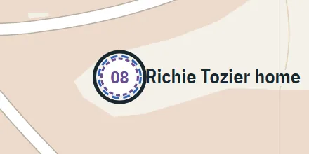 8 Richie Tozier home |
10 places |
| U · No location | That the place exists | Nothing: no point is drawn | Listed, not drawnU3 Derry Town Hall | 8 places |
The novel
Stephen King, IT (1986). References in the place cards name chapters and interludes. No text of the novel is reproduced on this website.
Where the book does not settle the geometry
The map prioritises neighbourhoods, routes, bridge order and water flow. It reconciles the downtown junction descriptions and places the Standpipe west-southwest of the centre. Contours, local road bends, most footprints and the vegetation pattern are illustrative. In the initial reconstruction, the canal measured approximately 3.37 km in this reconstruction, including 0.80 km under downtown; the novel gives about 3.2 km overall. A 0.63 km open reach then joined the Penobscot. That lower limit is inferred.
The relief is conceptual: contours and spot heights are approximate and not measured.
Open sources consulted
Seven outside references. Each is used only for what its role allows: none of them supplies a street plan or a coordinate.
- W1 IT: Inspiration (opens an external site)Author's explanation: Bangor's canal and a childhood library in Stratford informed the novel. Used to establish multiple real inspirations, not street coordinates. Inspiration
- W2 Fair Extension: Inspiration (opens an external site)Author's general statement connecting Derry and Bangor. No places from the other story were added. Inspiration
- W3 Stormwater (opens an external site)Primary background for urban runoff and tributaries. Used only to check the plausibility of the reconstructed surface landscape. Plausibility check
- W4 Kenduskeag Stream Parkway map (opens an external site)Official real-world map inspected as an urban river-corridor analogue. Its modern street geometry, scale and landmarks were not transferred to Derry. Analogue only
- W5 Thomas Hill Standpipe (opens an external site)Primary architectural analogue. The real tank differs from the novel's stated dimensions and history; book details have priority. Analogue only
- W6 Augustus Koch, Bangor 1875 (opens an external site)Historical cartographic context and catalog record. Not used as a measured base map. Context
- W7 Mapping Derry (15 December 2023) (opens an external site)Source audit: describes maps mixing the novel, screen adaptations and other novels. Those maps were excluded as geographic authority. Excluded as geography
Using the map
Move
Drag the map, or use ← → ↑ ↓
Zoom
Wheel, pinch, the + − buttons, or + −
Measure
The ruler measures straight lines in the reconstruction, not travel distances
Close
Esc clears a measurement or closes a place card