Place 6: Ben Hanscom home
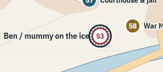
1957–58Ben is three blocks from home at the canal during his winter encounter. No street address is established. This is a candidate residential position within that walking range, not a recovered address.
About Ben Hanscom home
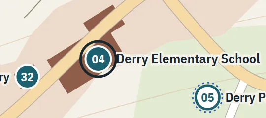
The Ben Hanscom home represents Ben’s family residence during the 1957–58 period. Unlike several houses in Derry, it has no recoverable street name or number in the material used for the atlas. Its mapped position is designed to preserve Ben’s local geography: the school lies within a longer walk, while the canal encounter on his winter route occurs only three blocks from home. The house functions as a residential endpoint rather than an architecturally reconstructed property.
Why this pin is marked B
Inferred. Worked out from routes, distances and what stands next to it.
The home is marked B because a distance relationship can be recovered even though an address cannot. At the winter encounter by the canal, only a three-block remainder separates Ben from home, and the wider school-to-home journey is described as roughly a mile. Those measurements constrain the residence to a plausible walking zone on the residential side of the canal. They do not identify a named street, direction from the encounter, exact block lengths, or lot, so the selected point remains a candidate.