Place 4: Derry Elementary School
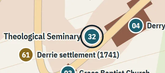
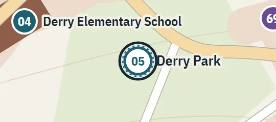
1957–58; 1985On Jackson Street, with a view toward the Witcham junction. Charter Street and Derry Park are near the playground; the building footprint is illustrative.
About Derry Elementary School
Derry Elementary School is a civic landmark in the reconstructed town of Derry, Maine. It belongs to the Jackson Street district, near the junction with Witcham Street. The school grounds connect with Charter Street, while Derry Park provides another nearby reference point. In the atlas, the school is represented as a brick educational building present during both principal periods, 1957–58 and 1985. Its position helps organize this part of the map by linking the school, playground, park, and surrounding streets.
Why this pin is marked A
Named in the novel. The street or the site is named in the text; the exact lot is the atlas’s.
The school is marked A because the novel explicitly places it on Jackson Street. Other passages narrow the setting further: the playground has a Charter Street gate, a school window looks across Jackson toward the Witcham junction, and Derry Park is associated with the school. These clues support this part of the street network and the school’s relationship to nearby landmarks. They do not identify a surveyed building lot, however, so the plotted coordinate and building footprint remain part of the reconstruction.