Place 61: Derrie settlement / burned house
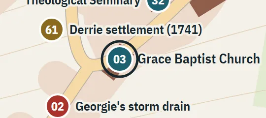
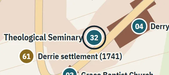
1741One burned house stood approximately at the later Witcham/Jackson intersection. This marker locates that house vicinity, not the full boundary of the vanished settlement.
About Derrie settlement / burned house
The Derrie settlement marker recalls one of the houses destroyed in 1741, during the disappearance of Derry’s early community. That house stood in the vicinity of what later became the intersection of Witcham and Jackson streets, long before the modern road layout existed. The point brings the colonial episode into the contemporary town plan by using the later junction as a reference. It represents a single burned dwelling and its immediate area, not the full extent, centre or boundary of the vanished settlement.
Why this pin is marked A
Named in the novel. The street or the site is named in the text; the exact lot is the atlas’s.
This is a level A historical placement because the later Witcham–Jackson intersection is given as the approximate site of one destroyed house. The qualifier matters: an eighteenth-century building cannot be aligned precisely to streets laid out afterward. The atlas anchors the marker near the junction while avoiding a detailed footprint. Its orientation, parcel and distance from the modern corners are unknown, and the point provides no evidence for mapping the rest of the Derrie settlement around it.