Place 33: Derry Standpipe
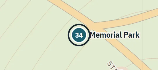
1958; 1984–85On Kansas Street at Memorial Park, roughly 2.4 km west of downtown and near the Barrens' southern edge. This plan interprets west broadly as west-southwest; no surveyed elevation is claimed. The Johnson boy is found almost at its foot in December 1984 (First Interlude).
About Derry Standpipe
Derry Standpipe is a prominent municipal structure on Kansas Street at Memorial Park. It occupies the park side facing the lower end of the Barrens, with roughly 2.4 kilometres separating it from central Derry. This makes it both a skyline landmark and a reference point between the park, city, and river valley. The structure remains important from 1958 through 1984–85. In the atlas it anchors the Memorial Park complex without claiming a real-world counterpart or a surveyed elevation.
Why this pin is marked A
Named in the novel. The street or the site is named in the text; the exact lot is the atlas’s.
The Standpipe is marked A because Kansas Street, Memorial Park, the approximate distance west of downtown, and proximity to the Barrens are all established. The atlas’s straight-line distance is close to the stated one and a half miles, although the plan interprets west broadly as west-southwest. These clues securely identify the landmark’s part of town. They do not provide a cadastral coordinate, exact park boundary, base position, height, or engineering dimensions, so the marker and drawn structure remain reconstructed.