Place 53: Ben's winter canal encounter
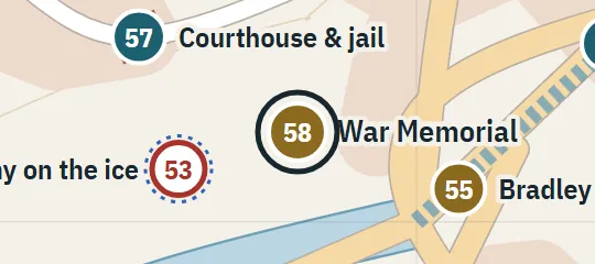
Winter 1957–58At an open canal reach from which Ben looks southwest for about 0.8 km toward the Barrens. A street-side position just before the covered reach is proposed.
About Ben's winter canal encounter
Ben’s winter encounter takes place beside an open, concrete-walled reach of the Canal during the winter of 1957–58. From there the waterway runs straight toward the southwest for roughly half a mile before the hard channel ends and the river spreads into the Barrens. The scene belongs near the last urban reach before that transition, where streets and canal infrastructure still frame the water. It is distinct from later events farther downstream in the open lowland.
Why this pin is marked B
Inferred. Worked out from routes, distances and what stands next to it.
Level B is used because the long sightline toward the Barrens and the transition from concrete channel to open river establish a directional corridor, but the immediate bridge or street is not named. The atlas places the marker beside the final open urban reach before the covered downtown section, a configuration that fits the wider canal reconstruction. The exact bank, distance from the transition, neighbouring buildings and viewpoint are interpretive rather than directly fixed.