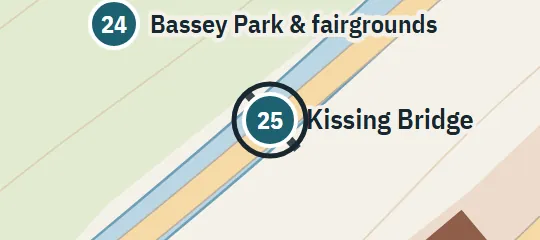
Place 24: Bassey Park & fairgrounds
1958; 1984–85Northeast of downtown, beside the canal, facing Derry High School across it. Includes the carnival and later horse-racing grounds; their precise internal layout is conjectural.
About Bassey Park & fairgrounds
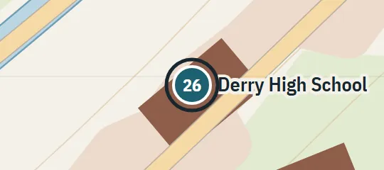
Bassey Park is a large canal-side public ground northeast of downtown, used differently across the atlas’s time layers. It faces Derry High School across the water and is linked to that side by the Kissing Bridge. The park accommodates the festival fairgrounds in 1984 and horse racing in 1985, making it both recreation space and event ground. Its placement ties together the canal, school, covered bridge, City Center area, and the approach from Upper Main Street.
Why this pin is marked A
Named in the novel. The street or the site is named in the text; the exact lot is the atlas’s.
The park is marked A because its position beside the canal, opposite Derry High School, and connection through the Kissing Bridge are repeatedly established. The fair and later racing use confirm that a substantial open area belongs to the site. These relationships locate Bassey Park securely within the town network. They do not define a legal boundary, shoreline geometry, entrances, track, midway, or internal paths. The marker and park envelope are reconstructed around the supported canal-side relationships rather than copied from a surveyed plan.