Place 26: Derry High School
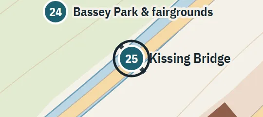
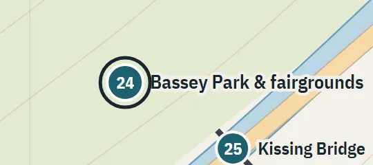
1958; 1984–85Across the canal from Bassey Park, connected by the Kissing Bridge. Building and playing-field outlines are inferred.
About Derry High School
Derry High School is a major educational site on the canal opposite Bassey Park. The Kissing Bridge connects the school side directly with the park, while the school grounds include room for athletic fields in the atlas reconstruction. The site appears across the 1958 and 1984–85 layers and helps define the developed bank facing the park and fairgrounds. It is kept distinct from Derry Elementary School and the Neibolt Street Church School elsewhere in town.
Why this pin is marked A
Named in the novel. The street or the site is named in the text; the exact lot is the atlas’s.
The high school is marked A because it is explicitly across the canal from Bassey Park and connected to the park by Kissing Bridge. These two linked relationships anchor the campus to a specific bank and canal segment rather than merely to a broad neighborhood. The material does not provide a street address, surveyed campus boundary, exact bridge landing, building orientation, or arrangement of playing fields. The atlas reconstructs the campus footprint while treating its park-facing position as the reliable element.