Place 55: Bradley Gang massacre
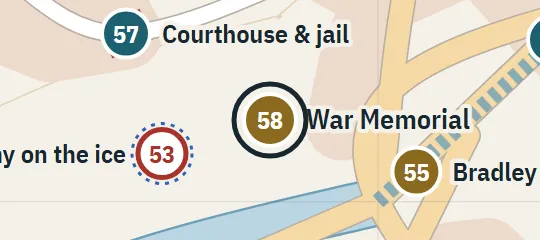
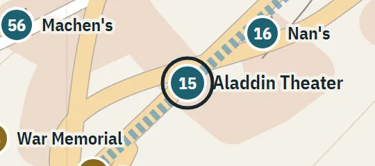
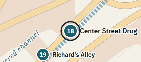
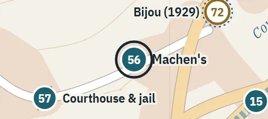
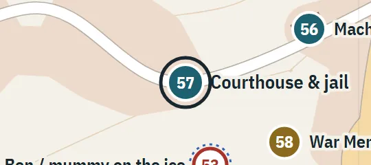
9 October 1929At the Main/Canal/Kansas junction near Machen's and the courthouse. Chapter 5 calls the approaches Kansas/Center/Main. The plan treats these as one compact junction complex, not two separate massacres.
About Bradley Gang massacre
The Bradley Gang massacre unfolded at a compact central junction on 9 October 1929, where the gang’s car entered a prepared field of fire near Machen’s Sporting Goods and the courthouse. Accounts name Main, Canal and Kansas streets, while another description uses Center among the approaches. The atlas treats these references as one junction complex, reflecting an event remembered from several viewpoints rather than dividing it into separate sites. The marker covers the intersection as a historical scene.
Why this pin is marked A
Named in the novel. The street or the site is named in the text; the exact lot is the atlas’s.
This location receives level A because the massacre is repeatedly tied to a three-way downtown intersection and to nearby fixed landmarks, especially Machen’s and the courthouse steps. Those relationships anchor the event securely within the central street plan. The differing street-name formulation and the absence of surveyed firing positions leave some detail unresolved. The mapped junction is a compact reconciliation; exact vehicle placement, curb lines, sightlines and the boundaries of the scene are reconstructed.