Place 39: Neibolt Street Church School
1958Mike's school, at Route 2 and Neibolt Street. Route 2 runs northwest for about 1.6 km from its Witcham junction. Neibolt continues toward the yards.
About Neibolt Street Church School
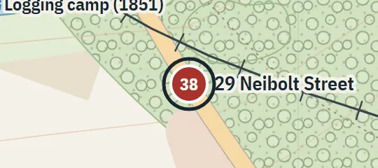
Neibolt Street Church School is the small school Mike Hanlon attends in 1958. It stands at the meeting of Neibolt Street and Route 2, on the northwestern approach to Derry, roughly a mile beyond Route 2’s junction with Witcham Road. Neibolt continues from the school toward the trainyards and the abandoned house at number 29. This makes the school an important waypoint between the Hanlon family’s rural side of town and the rail-side edge of the Barrens.
Why this pin is marked A
Named in the novel. The street or the site is named in the text; the exact lot is the atlas’s.
The school receives level A because both its road junction and its approximate distance along Route 2 are stated, while Neibolt’s continuation toward the yards supplies another strong check. These relationships determine the mapped junction even though fictional road lengths have been fitted to the atlas. The precise corner occupied by the school, its parcel boundary, orientation and building outline are not established; the symbol identifies the documented intersection rather than a surveyed structure.