Place 77: Sherburn Woods
1985A more fashionable development beyond Old Cape. Only that relationship is supplied; extent and geometry are proposed.
About Sherburn Woods
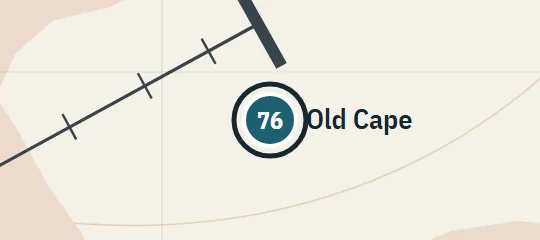
Sherburn Woods is a residential development beyond Old Cape in the 1985 landscape. It is described as somewhat more fashionable than its nearer neighbour, suggesting another outward layer of Derry’s western housing rather than part of Old Cape itself. The atlas places it farther from the Barrens along the same broad side of town. No internal streets or landmarks are known, so the marker represents the district’s relative position and social distinction without inventing a detailed suburb.
Why this pin is marked B
Inferred. Worked out from routes, distances and what stands next to it.
This district is level B because only one strong spatial relationship is available: Sherburn Woods lies beyond Old Cape. That establishes order from the Barrens outward but leaves direction within the wider arc, distance, access road and extent unresolved. The chosen point continues the reconstructed western development pattern and is a plausible interpretation of “beyond.” Its boundary, centre, buildings and road network are entirely illustrative rather than text-anchored geometry.