Place 76: Old Cape
1958; 1985Low-income district on the western bank of the Barrens, west of the Ironworks/mall. Exact street pattern and buildings are reconstructed.
About Old Cape
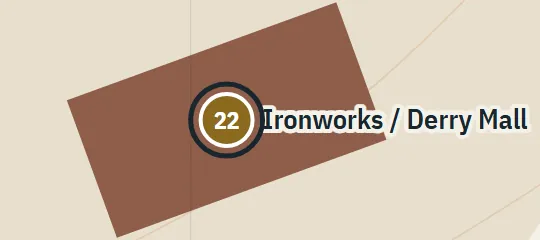
Old Cape is a low-income housing development on the far side of the Barrens from upper Kansas Street. It occupies the western side of the lowland and lies west of the former Ironworks and later mall, with Merit Street running through the district. Its roofs are visible before the more distant Derry Heights. The atlas treats Old Cape as a neighbourhood rather than a single point, using streets and small buildings to show its place along the Barrens edge in 1958 and 1985.
Why this pin is marked A
Named in the novel. The street or the site is named in the text; the exact lot is the atlas’s.
Level A follows from several consistent relationships: Old Cape forms one boundary of the Barrens opposite upper Kansas Street, contains Merit Street and lies west of the Ironworks area. These anchors secure the district’s side of town. They do not define a municipal boundary or street plan. The point, local roads, buildings and extent are reconstructed to express the confirmed neighbourhood relationship, not to claim a canonical subdivision layout or exact property geometry.