Place 65: McCarron Park
1958; 1985Between the school neighbourhood and the Costello/library walk. Contains a sledding hill. Shape and detailed location are inferred from the walking route.
About McCarron Park
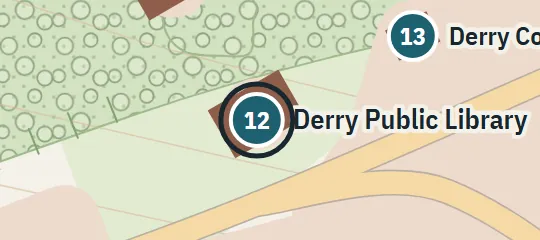
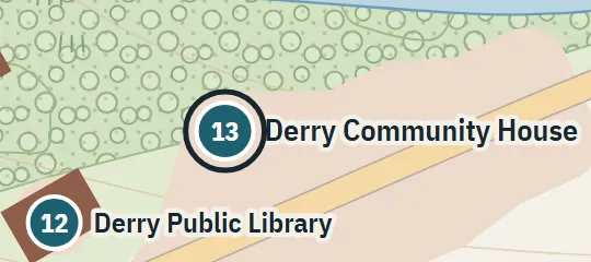
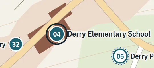
McCarron Park is a neighbourhood green space used for sledding and baseball and crossed on the walk toward Costello Avenue and the Public Library. From the school and Charter Street side, the route passes through the park before continuing another five blocks to the library. The park appears in both childhood and adult-era references, giving it a durable place in Derry’s everyday geography. Its hill and open playing ground are represented as characteristic elements rather than exact landscape features.
Why this pin is marked B
Inferred. Worked out from routes, distances and what stands next to it.
The park is level B because a walking sequence links it reliably to the school neighbourhood, Costello Avenue and the library, while other references confirm its recreational character. No street boundary, entrance or measured extent is supplied. The atlas fits a park into the route and surrounding blocks, but its outline, hill, paths and playing field are interpretive. Confidence applies to the relative order of landmarks, not to the precise point or polygon shown.